Powering over 5 million apps and websites, Google Maps is transforming global enterprises with its geospatial infrastructure. This powerful tool has evolved from being a simple navigational tool to delivering real-time locational intelligence to customers across the globe. From choosing an optimized delivery route to identifying the most impactful customer zones, geospatial analytics enable companies to make smarter, faster decisions.
Here’s an insight into geospatial analytics and its importance for businesses.
Understanding the power of geospatial analytics
Essentially, geospatial analytics is the process of interpreting real-time location data to extract relevant patterns and trends. Powered by geographic information systems (GIS), enterprises can use geospatial analytics with visualization methods like interactive maps, heatmaps, and spatial clustering. For example, using spatial patterns, enterprises can identify their traffic flow, customer clusters, and resource allocation.
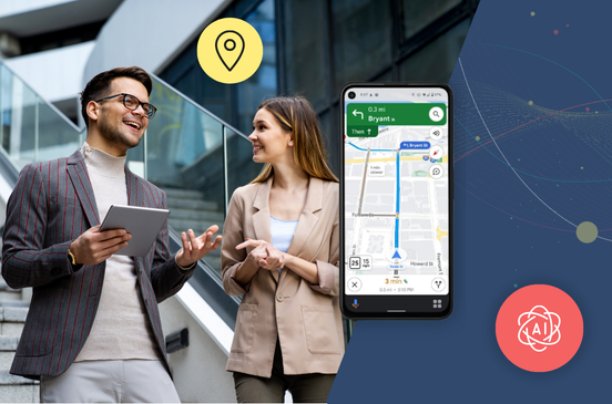
Among the notable mentions, Google Maps APIs enable companies to embed geospatial data into various types of applications, including web and mobile apps. With the adoption of Vertex AI, Google Maps is transformed into an “active” location intelligence platform. Enterprises can combine customer information with real-time location data from Google Maps API, such as Places API.
As an example, logistics companies can integrate real-time fleet information with the current traffic patterns derived from Google Maps’ Directions API. This allows them to build powerful AI models for dynamic routing, demand forecasting, and inventory optimization.
How Google Maps APIs can improve geospatial analytics
Companies can leverage the power of Google Maps APIs to extract valuable insights from locational data, thus improving geospatial analytics in the following ways:
- Streamlined data integration
Google Maps APIs can extract high-quality location data from a variety of sources, including GPS devices, satellite feeds, and geo-mapping platforms. This integration makes it simpler to manage diverse data sources using a single, unified platform. Similarly, location datasets are automatically updated, thus eliminating the need for manual updates. - Real-time insights
With Google Maps APIs, companies have access to real-time geospatial data and insights – crucial for time-bound operations like last-mile deliveries. By tracking APIs, logistic companies can live track their fleet operations and even weather-related disruptions. For instance, supply chain companies can reroute vehicles in response to real-time traffic disruptions reported by location intelligence APIs. - Customized visualizations
With advanced Google Maps APIs, enterprises can customize their visualized data using heatmaps and dashboards according to their specific business needs. As an example, retailers can use heatmaps to visualize their in-store traffic or bubble maps to track location-wise sales. - Automated analytics
Thanks to Google Maps APIs, location-centric companies can now automate their geospatial analytics instead of performing manual analytics. These APIs can automate the geocoding of locations and addresses and update live coverages, thus saving time and delivering a scalable performance at all times.
Conclusion
Whether it’s for urban planning or logistics operations, geospatial analytics is growing in importance across industries. With locational intelligence, enterprises can leverage geospatial insights to acquire a competitive advantage in their particular industry. The Google Maps platform is enabling enterprises to harness the capabilities of its geospatial ecosystem to build smarter, responsive solutions.
Onix’s latest eBook, “Geospatial Analytics using Google Maps — Unlocking location intelligence,” explores the growing use cases of this technology across industries. It also presents a deep insight into how companies can integrate Google Maps APIs into their applications.
Reference links:
How APIs Enhance Geospatial Analysis for Businesses
The Geospatial Revolution: How Google Maps Platform is Redefining Commerce in an AI-Powered World
Geospatial Data Analysis: What Is It, Benefits, Examples and Use Cases
From Data to Decisions: How Geospatial Data Visualization Impacts Your Business